3D Laser Scanning
Our ongoing work on Lizard Island has given us a unique opportunity to record this incredibly remote and beautiful part of Australia.
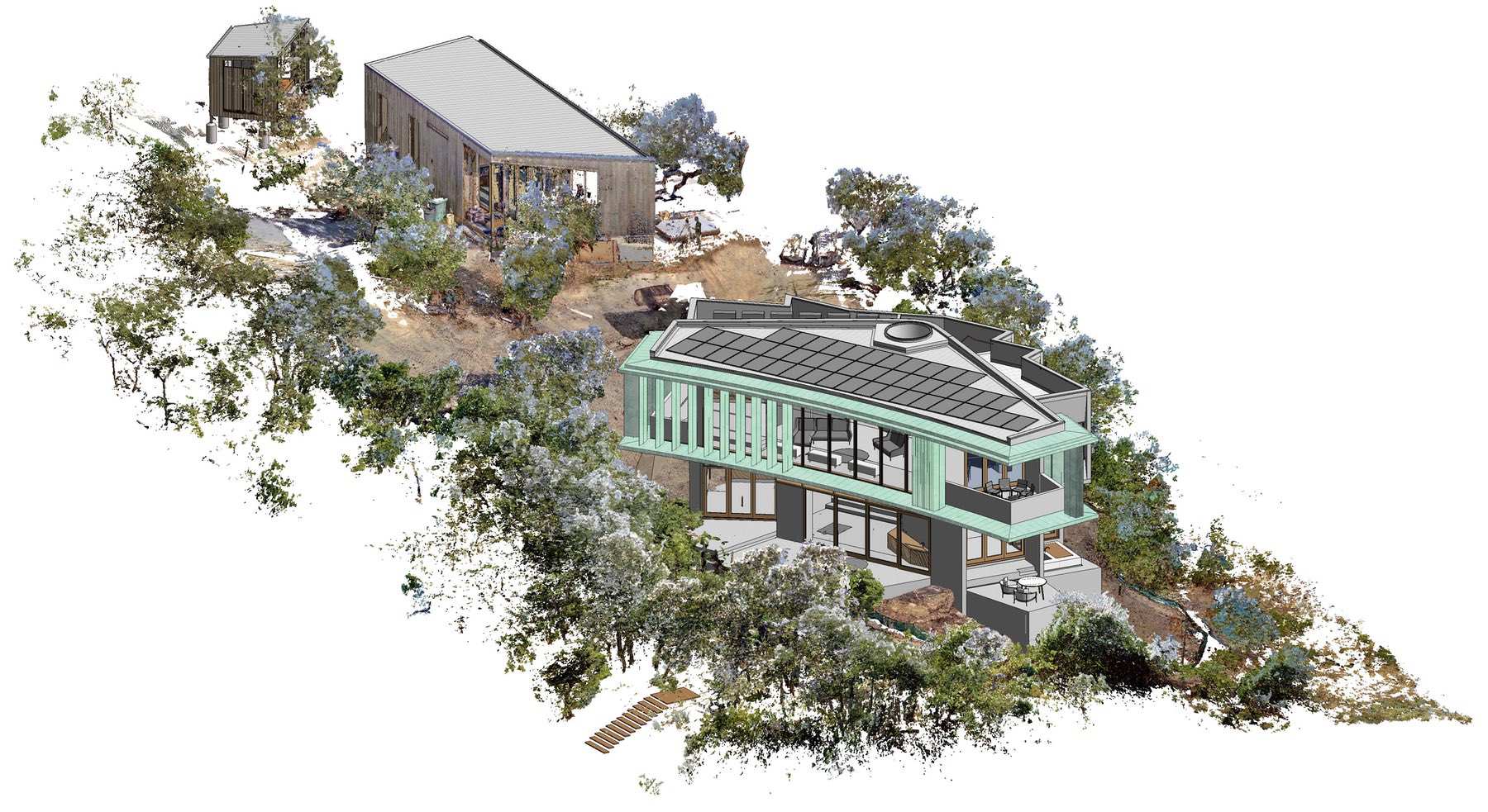
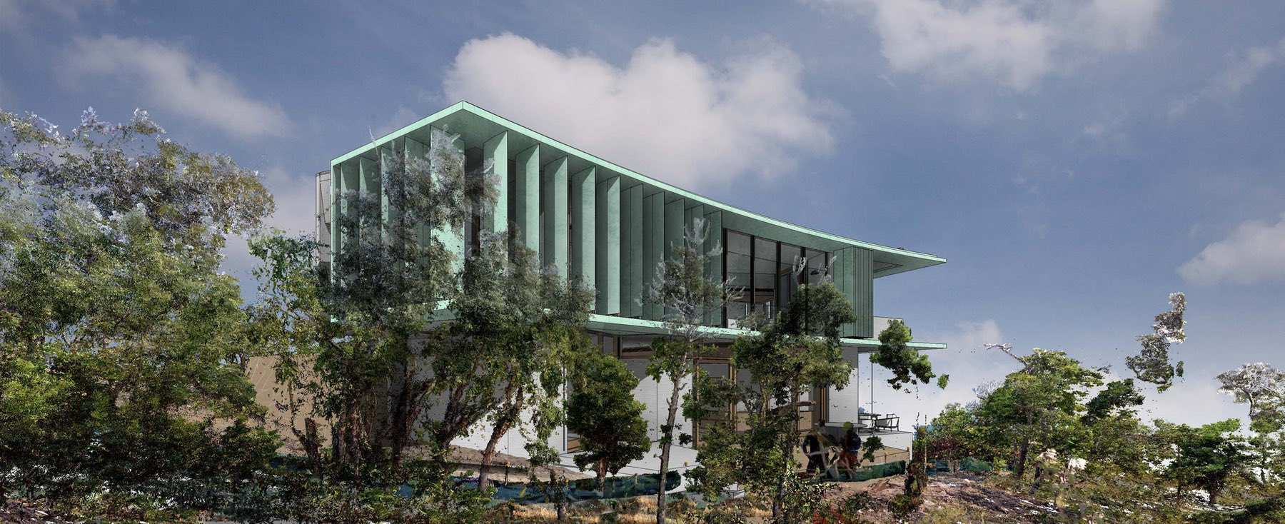
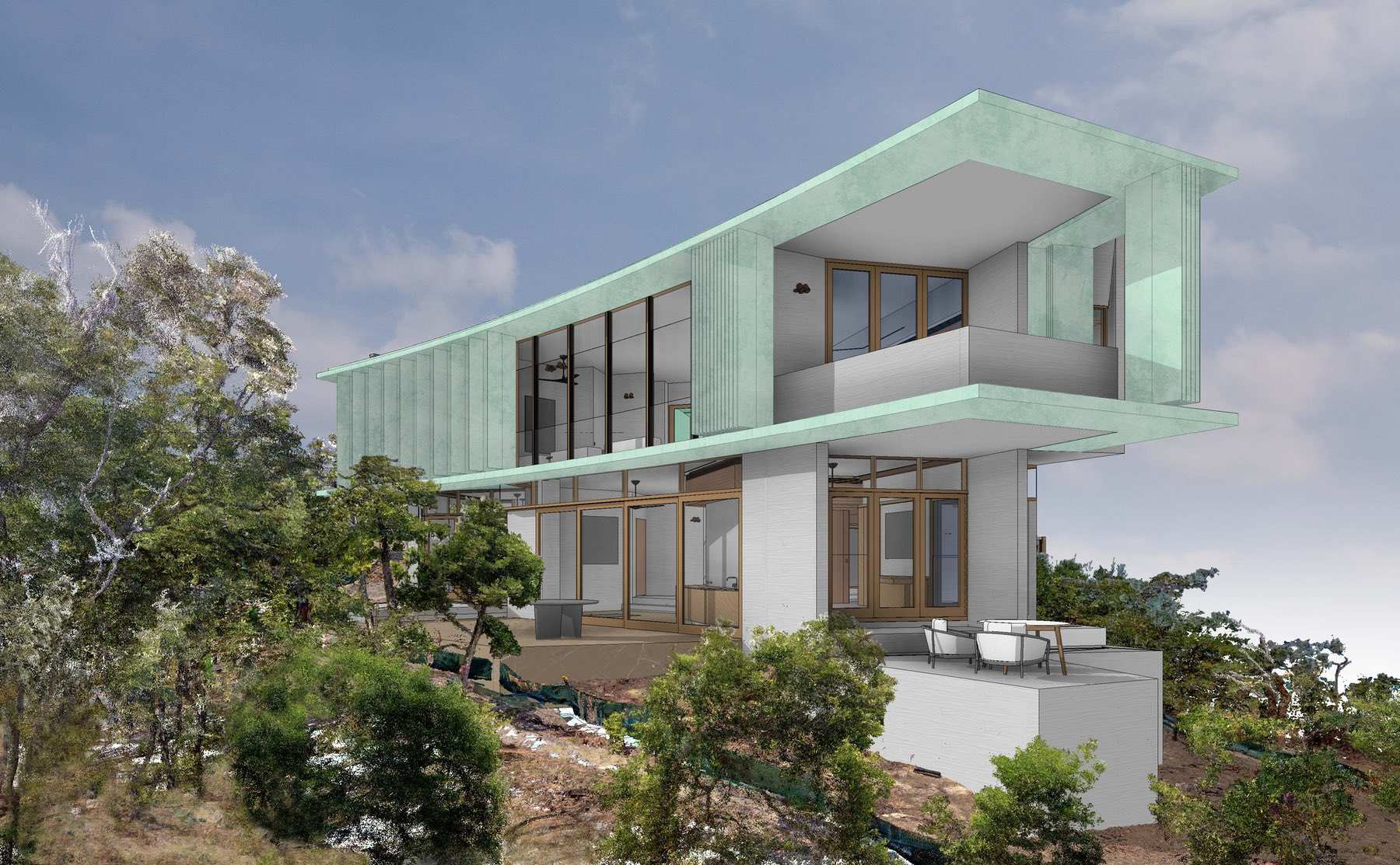
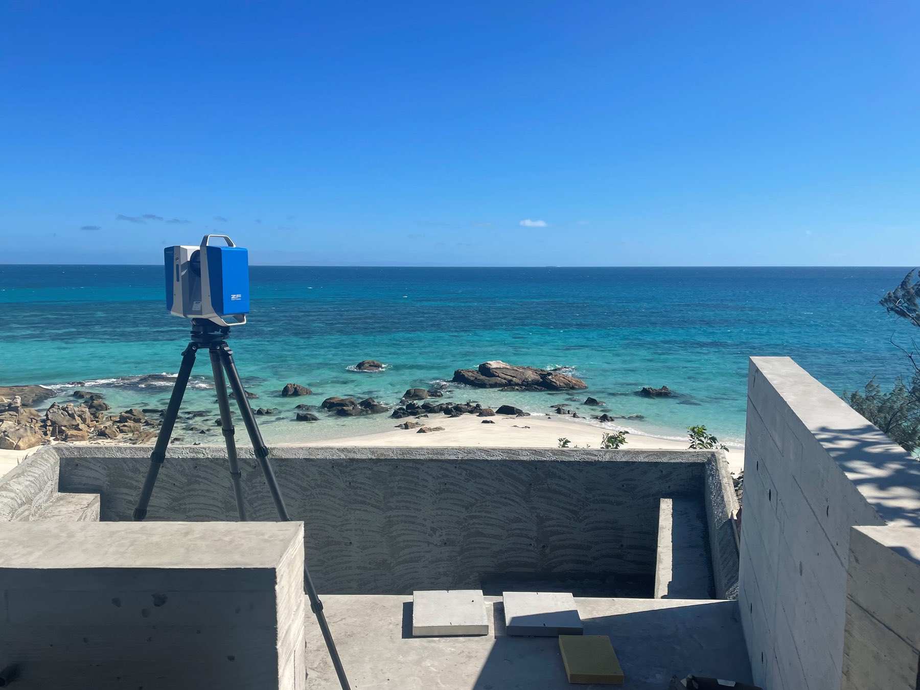
As investigation of the site is critical, and site visits are so difficult, we’ve been able to explore and design right into the landscape using Spatial Ops — our 3D laser scanning technology.
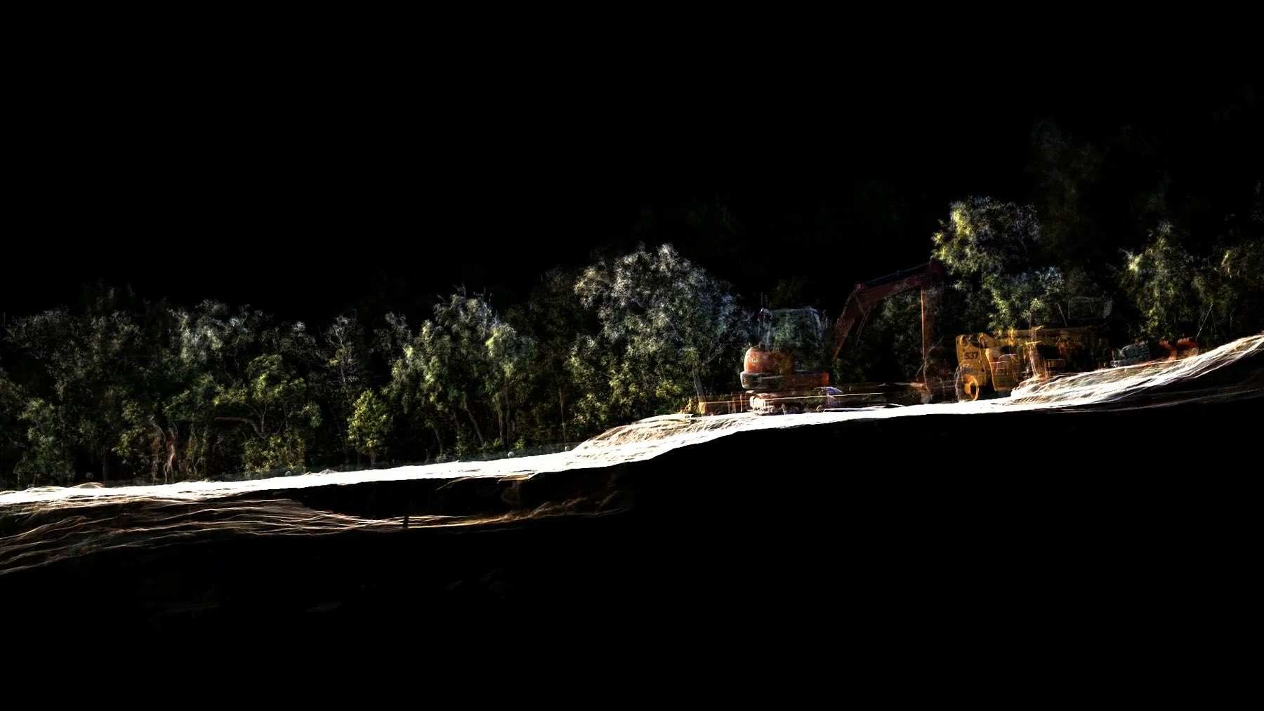
Spatial Ops used the scanning technology to capture the extraordinary landscape and rock formations of the island, as well as documenting construction work in progress. As the residence is designed to sit lightly within the pristine landscape, it has been critical that we understand the challenging formation of the rock bed on site prior to detailed design and construction.
We also laser scanned building elements during the construction process to provide an accurate model to contractors. For example, the spiral stairs were scanned once the outer concrete shell had been poured and set in place. Contractors were then able to use this 3D model to fabricate and install the stair treads with millimetre accuracy.
Our experience in scanning on Lizard Island proves the benefits of Spatial Ops technology to scan objects and places around the world. Time on site can be minimised and analysing the data can begin within a couple of days after the site visit. The need to travel to and from hard to access sites is obsolete, thanks to our scanning technology and processes.