About / 3D Laser Scanning
Introducing Spatial Ops, our 3D laser scanning service for government and councils, government agencies, engineers, architects, forensics, creative industries and private enterprise.
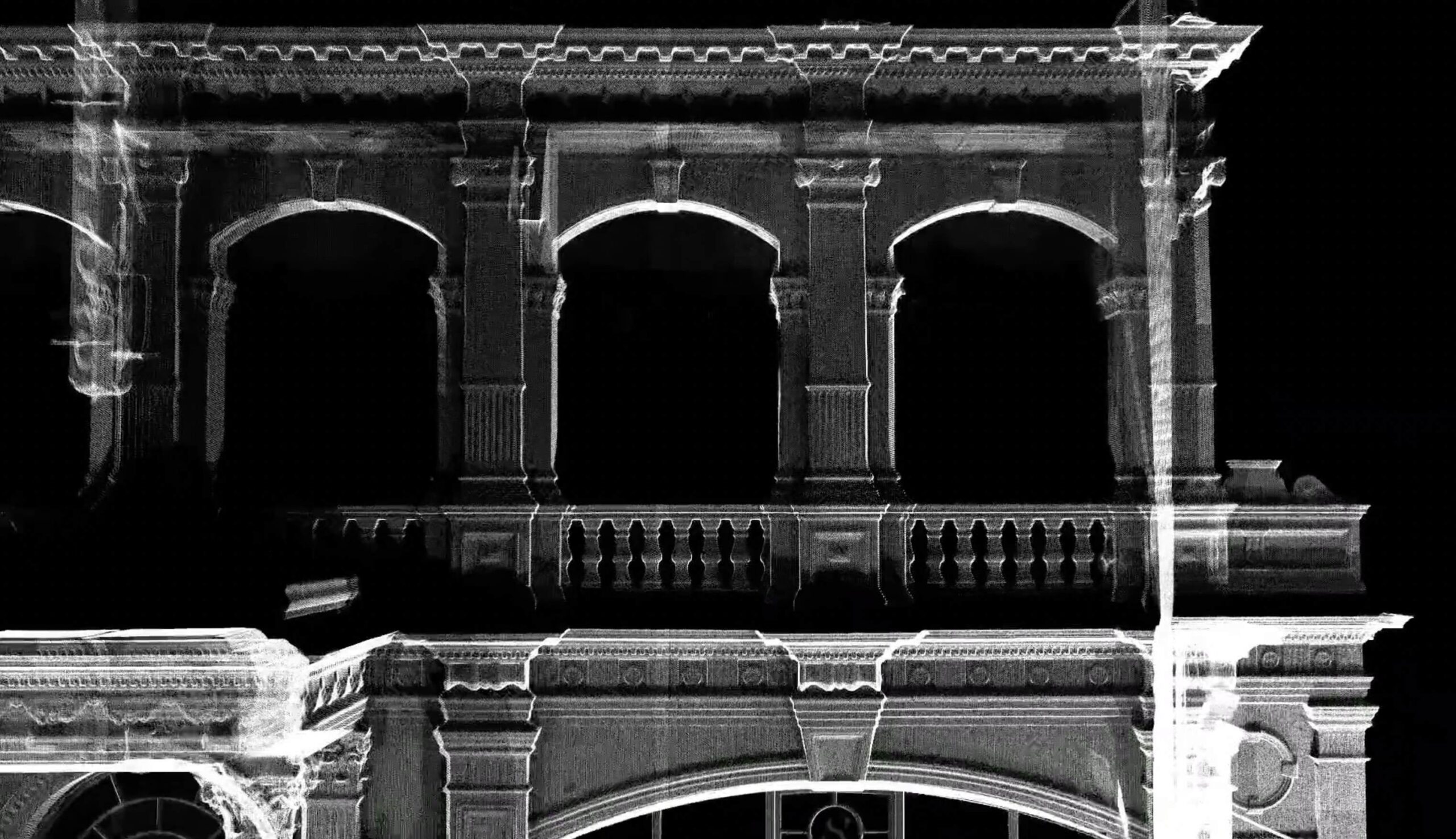
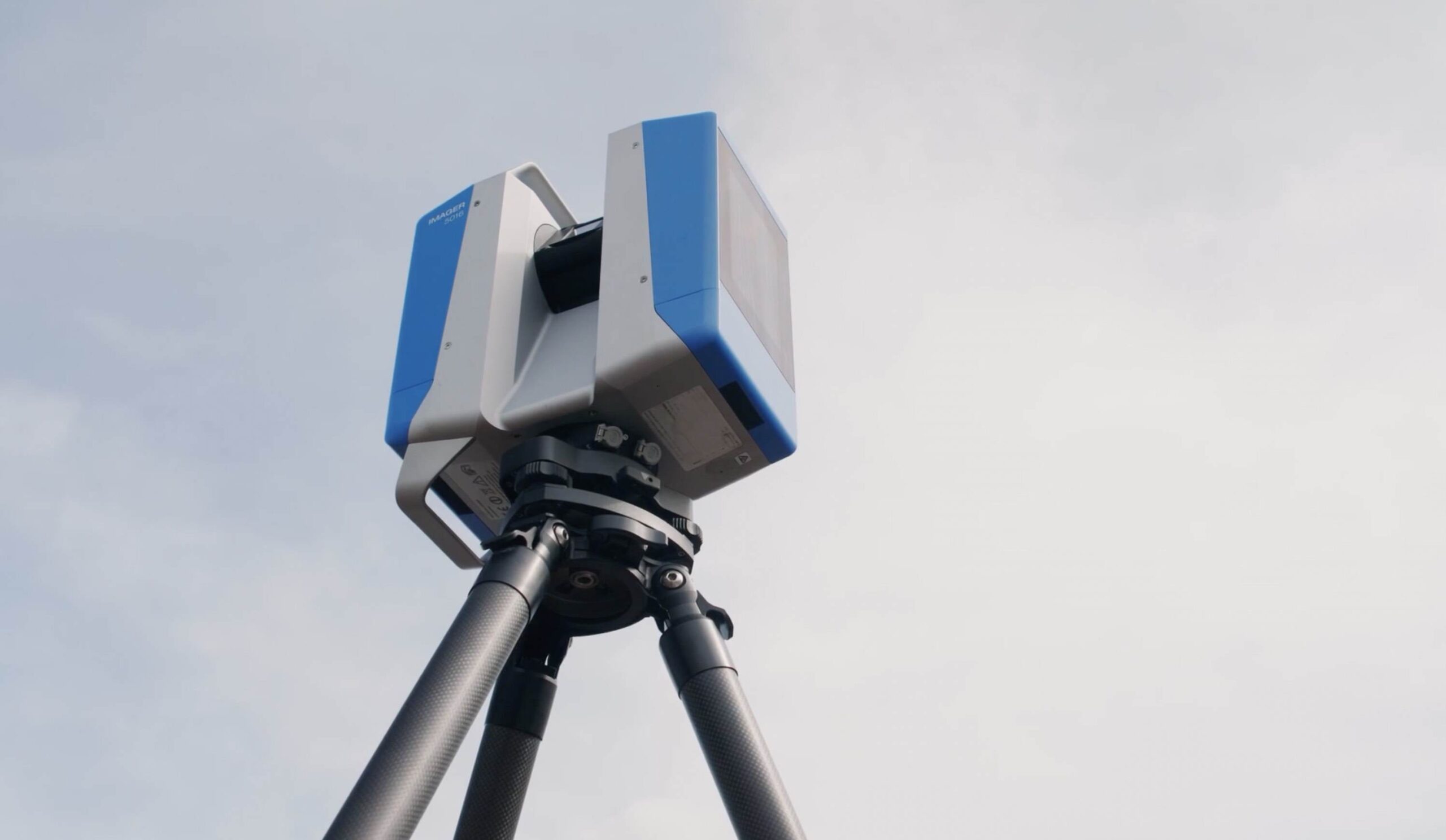
Using the world’s best in German-made laser technology, Spatial Ops provides Australia’s fastest and most accurate 3D digital blueprints of projects and spaces.
Spatial Ops has extensive experience in 3D laser scanning of building elements and types, from residential and heritage architecture applications to commercial and retail spaces, educational facilities, public and cultural assets, hospitality and cultural assets and transport infrastructure.
This technology has infinite data capture applications for the built environment and creative industries. Spatial Ops allows us to physically record surfaces at one million points per second with sub-millimetre accuracy. Buildings can be mapped in minutes — with zero disruption to your project site.
Spatial Ops can be used to scan a range of project types including:
- Combustible Cladding Removal
- Landscape
- Forensic
- Infrastructure and Transport
- Education
- Community
- Heritage
- Disaster Resilience


